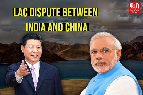
Wall between ‘Hindi – Chini Bhai Bhai’, India – China dispute explained
A brief look at the history of LAC dispute along with the ongoing standoff
Line of Actual control is the demarcation that separates Chinese-controlled territory from Indian-controlled territory. China considers LAC to be 2,000 km long while India considers it 3,488 km long. The LAC is divided into three sectors- western sector in Ladakh, middle sector that spans from Himachal Pradesh to Uttarakhand, and the eastern sector in Arunachal Pradesh and Sikkim.
What is the Dispute?
There are minor disagreements in the eastern sector along the Machmohan Line about the positions on the ground according to the principle of the high Himalayan watershed. The major disagreements between India and China are in the western sector where the LAC came into existence after then- Chinese Prime Minister Zhou Enlai wrote two letters to then-Indian Prime Minister Jawaharlal Nehru. Zhou Enlai in his letters of 1956 mentioned that the Line of Actual Control consisted the so-called McMahon Line in the east and the line up to which both India and China exercises actual control in the west.”
After the end of India-China 1962 war, china claimed that they have withdrawn 20 km behind the LAC of November 1959. Zhou wrote another letter to India and clarified the LAC. This time he wrote that LAC coincides in the Macmohan line in the eastern sector and it coincides with the main with the traditional customary line in the western and the eastern sector which China has consistently pointed out. India in the leadership of Jawaharlal Nehru rejected both the proposals of 1959 and 1962.
Read more: Unlock 1 – What is the way forward for private firms?
However, in 1991, PM Narsimha Rao and Li reached an understanding to maintain peace and tranquillity at the LAC. India formally accepted the concept of LAC when P V Narsimha Rao paid a visit to China in 1993. Both the countries signed the Line of Actual Control.
Why Ladakh border has more standoffs?
The eastern boundary was well-defined but the British India in 1914 didn’t define Ladakh border. Both the countries conduct patrolling in their areas but China tries to pass the LAC and encroach Indian lands too.
The LAC mostly passes on the land but near the Pangong Tso, it passes through the water as well. The points in the water at which the Chinese claim ends and Indian claim begins is not mutually agreed. A majority of standoffs between Indian security personnel and Chinese security personnel takes place in the disputed region of the lake.
The mountain on the northern bank of the lake, known as Chang Chenno is in the shape of fingers. Indian Army claims that LAC is conterminous with Finger 8, but they control till Finger 4 only. Chinese border posts are at 8 but they claim that LAC passes through Finger 2 and they even tried to build a border post at Finger 4. But after facing opposition from the Indian Army, the posts at Finger 4 were demolished. The Chinese Soldiers have now stopped the Indian soldiers moving beyond Finger 2.
Have a news story, an interesting write-up or simply a suggestion? Write to us at info@oneworldnews.com